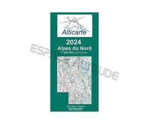

Carte couvrant les Alpes du Nord et une partie de la Suisse. Cette carte va de Grenoble au sud-ouest jusqu’à la Furkapass au nord-est.
Echelle : 1/ 250 000
Cette carte à pour objectif de fournir aux pilotes planeur un maximum d'éléments utiles à la préparation et à la conduire de leurs vols.
Vous y trouverez les informations aéronautique tel que les espaces aériens jusqu'au niveau FL195, les zones atterrissables ( champs vachables)
Le relief est particulièrement bien représenté avec le nom des montagnes et les altitudes en mètre.
Les lignes de crête sont soulignées d'un trait fin pour une meilleure lisibilité.
GLIDER MAP NORTHEN ALPS
Map covering the northern Alps and part of Switzerland. The map covers an aera from Grenoble in the south-west to the northeast Furkapass.
This map provides glider pilots with the optimum amount of relevant information for planning and conducting their flights in one document.
You will find of course the aeronautical information (airspace) but also the position of the listed landing fields with their altitude.
The scale 1 / 250 000 allows to show the mountains with their name and altitude. The main ridge lines are highlighted and the main passes indicated.
Last, the aerial obstacles are shown and those near gliding zone highlighted in red.
Printed on both sides, this map is suitable for the use in a small glider cockpit.

